“What do you mean you want to think about it!?” My sister exclaimed with confusion.
“A 10-day bike trip to Spiti Valley, and that too with a group of people we barely know!? I mean, it sounds exciting, but is it worth it? Who are these people? Is it even safe? What about COVID?”
My mind was flooded with 100 questions. Without much to do along with the pandemic scare, I was overthinking everything. But like most of us during the lockdown, I too needed a break. I hadn’t traveled anywhere in the last few years. Spiti was not really my first choice, but it looked like my best option then.
I read a couple of blogs about the Spiti Valley, but there weren’t many bloggers that honestly expressed what was their experience like. The travel group had reviews from previous trips, but who’s to say how genuine they are.
After some consideration, I took the plunge and agreed to book our seats on this August adventure. We had two of our friends join us too. Little did I know that this trip would be far from what I had imagined and would have a profound impact on how I perceived travel.
In this blog, I’ll take you through my complete experience of a 10-day bike expedition to Spiti Valley. Think of this as an informative experience, guide and a ready itinerary for you in the form of a story.
Ready?
Here’s Part One of Two!
Day 1 & 2 – Depart From Mumbai to Delhi, Then to Tirthan Valley
Day 1 – Our journey began from Mumbai to Delhi via flight. Upon arriving in Delhi, we made our way to our relative’s house in Gurgaon by road. Day 1 was just a buffer day for us to rest after the long flight, and to collect necessary documents and permission to enter Himachal, since COVID-19 restrictions were in place at the time. Normally, Indians do not need to carry any specific document to enter Himachal, except for a Govt. issued valid ID proof.
Day 2 – With catching the evening bus from Delhi to Tirthan Valley on our agenda, we had plenty of time to explore the city during the day. Delhi is known for its impeccable tasty food, and being a foodie myself we tried the street food there. We savored some of the best dahi kachori chaat and spicy golgappes we’ve ever had. The chaat was a perfect balance of sweet, sour, and spicy flavors, while the golgappes had a crispy exterior and a refreshing filling of mint, tamarind, and potato. Our stomachs were full, and our souls were uplifted as we soaked in the bustling streets of Delhi and Gurgaon. We spent the rest of the day visiting India gate and other places.
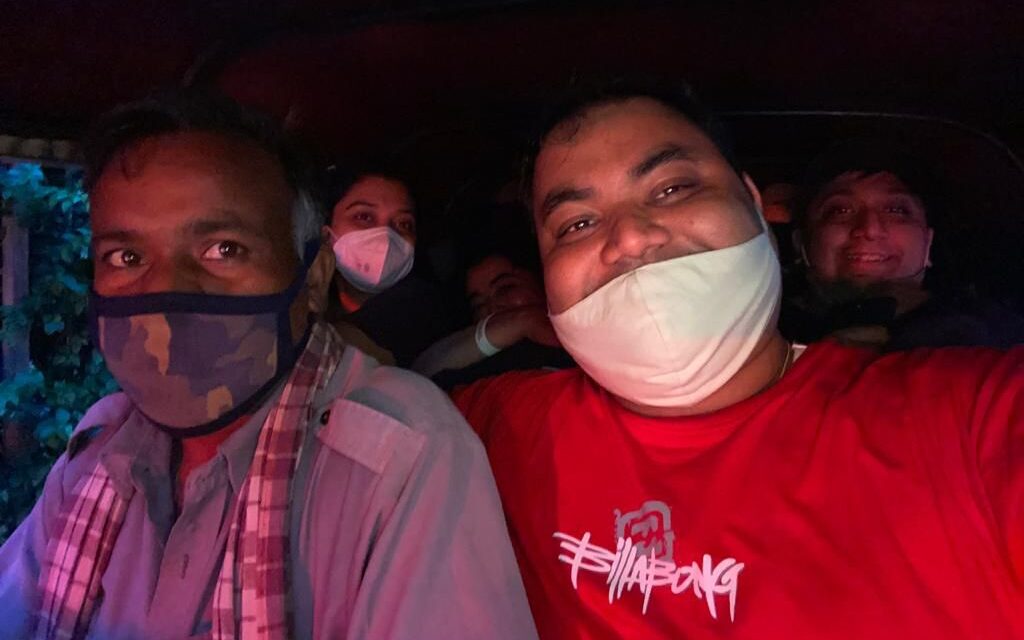
Later in the afternoon, we decided to head to the meeting point for our bus to Tirthan Valley which was at Majnu ka Tila in Delhi. Here, we decided to take a local rickshaw to reach our pick-up point. The journey was an adventure in itself, with the sounds and smells of the city enveloping us. We felt the wind in our hair as we zoomed through the streets, our bags precariously balanced in the small rickshaw. It was a tight fit for the four of us and our eight bags, but we made it, laughing and enjoying every moment of the ride.
Day 3 – Visit Choi Waterfall at Tirthan Valley
Tirthan Valley is located in the Kullu district of Himachal Pradesh at a height of 1600 meters. Due to its high location, it is accessible only via road, but it is not a very difficult task to reach here. There are a lot of busses that take you here, and you can travel with your vehicle as well.
There are 2 primary routes you can take. We took the 1st one:
- The most popular one: Delhi – Sonipat – Panipat – Karnal – Ambala – Chandigarh – Swarghat – Bilaspur – Sundernagar – Mandi – Larji – Gushaini (Tirthan Valley)
- The longer route via Shimla: Delhi – Sonipat – Panipat – Karnal – Ambala – Chandigarh – Kandaghat – Shimla – Narkanda – Kingal – Anni – Khanag – Jalori Pass – Shoja – Ghiyagi – Jibhi – Banjar – Gushaini (Tirthan Valley)
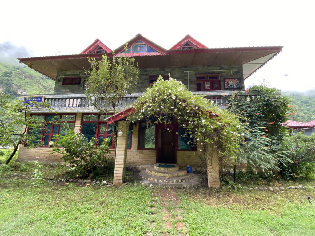
After a long and bumpy overnight bus journey, we finally arrived in Himachal. The landscape and temperature changed. The bikers in our group, got down on the way to collect the bikes from Manali, while the rest of us headed to our stay in Gushaini, a small village situated in the serene Tirthan Valley. Our accommodation, Trishla Resorts in Gushaini (pictures above) was a hidden gem in the midst of trees with beautiful and well-maintained cottages located along a riverbank just 100 meters away.
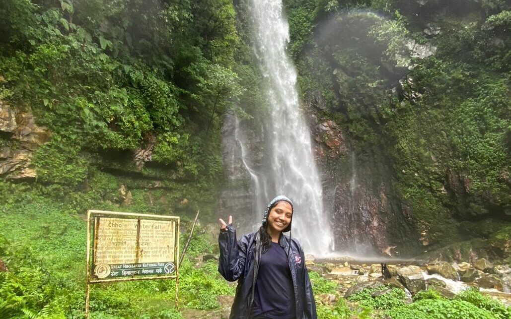
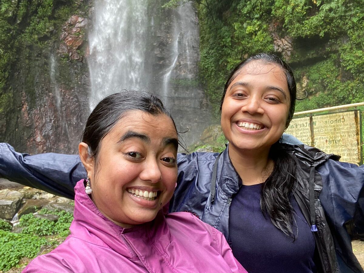
After some refreshments and a quick introduction, we headed on to a small trek to Choi Waterfall. This waterfall is about 45-minute walk uphill. The path is pretty narrow, and if you are not really a habitual walker, you may need to stop occasionally to catch your breath. It wasn’t very crowded, so it’s a good place to start. Oh, by the way, it is very easy to lose direction here. So, make sure you have a local guide with you. Despite all this, the destination is worth the effort.
The waterfall fed by Himalayan springs is cold, crystal clear, and very refreshing. The vistas along the trek are wonderful and the best part, it was just us. The force of the waterfall was so much that all of us were soaking wet even with our Windcheaters on. Lucky for us, we wore some breathable clothes that dry quickly. We took some time to rest and recharge at the falls, taking in the peaceful surroundings and clicking pictures. It was a perfect start to our transition from the hustle and bustle of city life to embracing the beauty of nature. We clicked some pictures, danced to some tunes, and recharged ourselves before heading back to our stay. Later that day, our bikers returned on their Royal Enfield bikes. Our trip leader briefed us about the activities planned for the next day and also gave us some safety instructions.
The below video shows most of it:
Day 4 – Depart from Gushaini to Chitkul via Kinnaur Valley
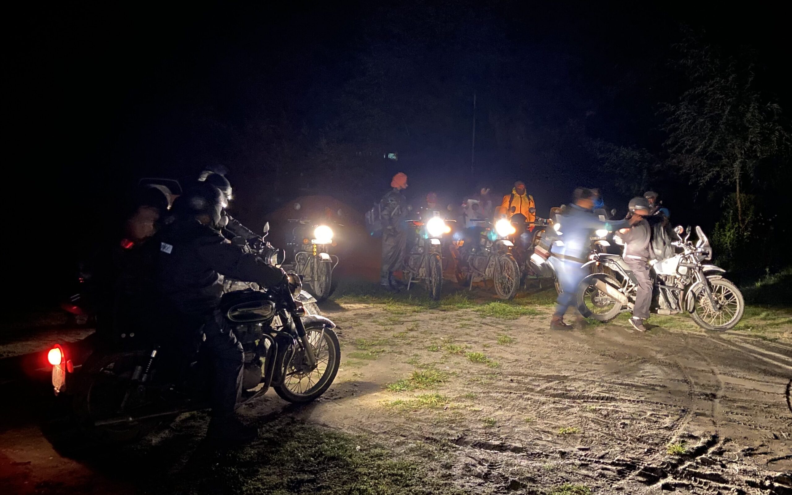
The following day, we started our journey toward Chitkul from Tirthan Valley at 4 am in the morning. We had to cover around 220 Km today, and we knew the road ahead would be challenging. Despite this, the sound of the Royal Enfield bike engines revving up in the valley added to the thrill of the adventure. As we set off, it was still dark, and the first few hours of the journey went by in silence.
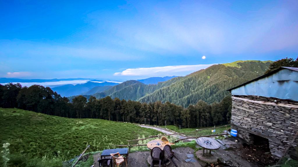
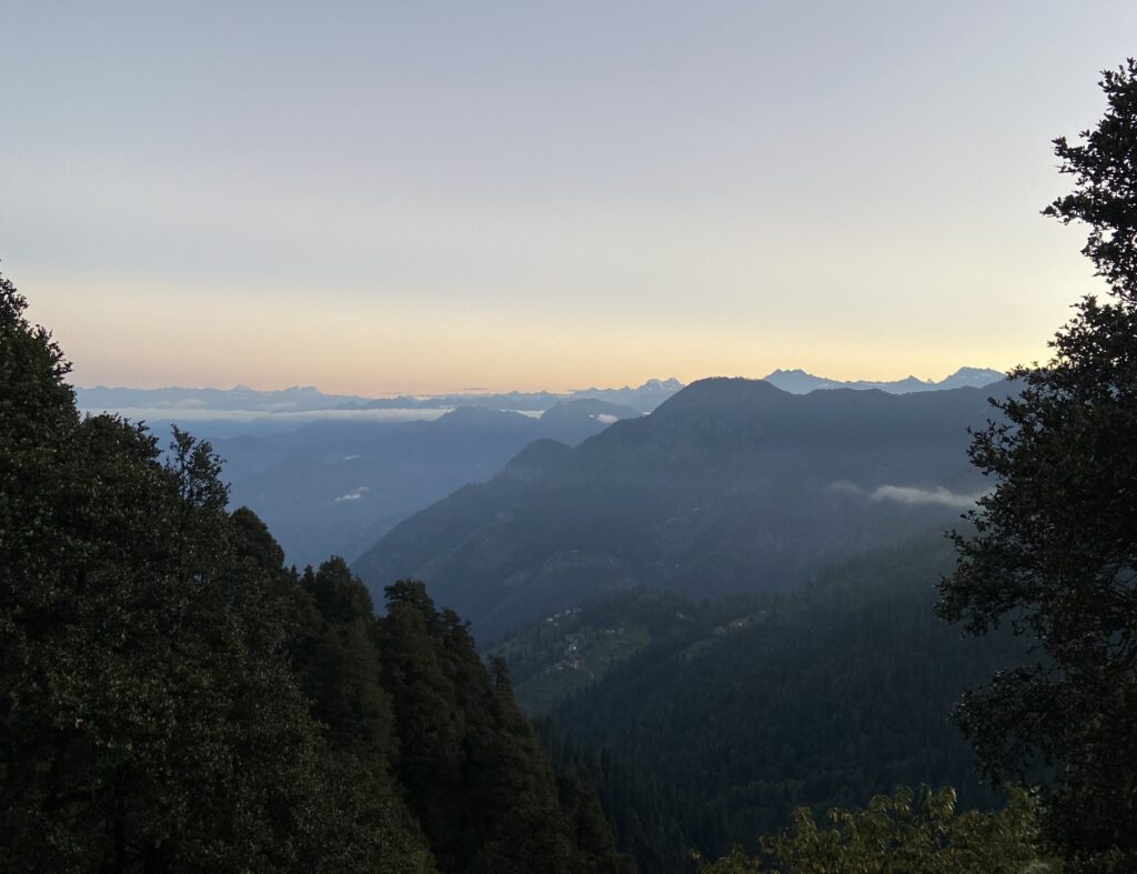
Eventually, we stopped at a hilltop for a small tea break. The chilly weather made us crave a warm cup of tea. The sun had not fully risen yet, and the sky was just beginning to brighten up with the first few rays of dawn. From this point, we witnessed a magical sight: the sun gradually rising in the east while the moon still glowed softly in the west. The gentle but cold breeze felt invigorating against our skin, but the view was the highlight of the moment. The surreal view took my breath away and made me realize how far I was from home and my worries. It felt like the sun and moon were there that day just to welcome us. It was a strange but comforting feeling that overwhelmed me. As I stood there, I realized this was just the beginning of something much bigger and more profound than I could ever imagine. That moment was so memorable that I left a part of me there.
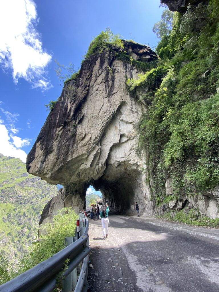
We continued our journey and reached our next halt, the Rock Tunnel, also known as the “Kinnaur Gateway” or the “Gateway of Kinnaur”. This was the point where the Kinnaur Valley began. The valley is well-known for its stunning landscapes, but it is also notorious for accidents due to landslides and falling rocks from the hills, and sharp turns (keep this in mind if you ever plan to go at this place). Our trip leader gave us strict instructions before entering the valley, which we followed diligently. As we rode through Kinnaur, we were accompanied by the roaring sound of the river Sutlej flowing alongside us.
After a long and tiring 9-hour journey, we finally arrived at Chitkul, which is also known to be the last Indian village towards China border. As we headed towards our campsite, the scenery around us left us speechless. Majestic mountains covered with a lush green layer of trees, a wide area full of pink flowers scattered across the flat lands, and the gushing sound of the Baspa River flowing alongside us. It felt like we had arrived in a heavenly abode, and we couldn’t wait to explore every bit of it.
Frankly, no words can do justice to the picturesque landscape surrounding us. Here are some pictures to give you a glimpse of the surreal beauty of Chitkul.
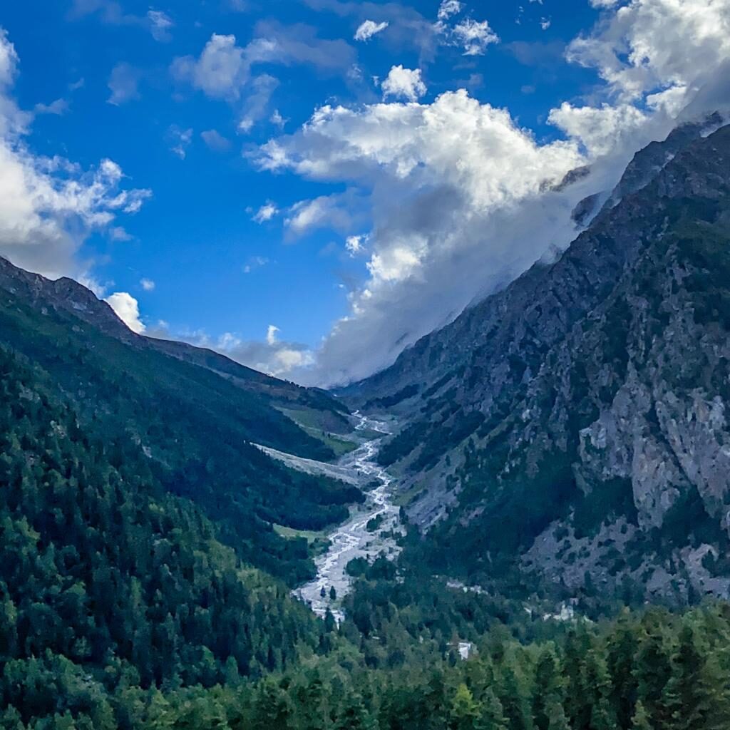
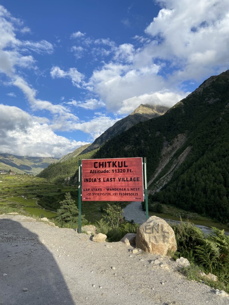
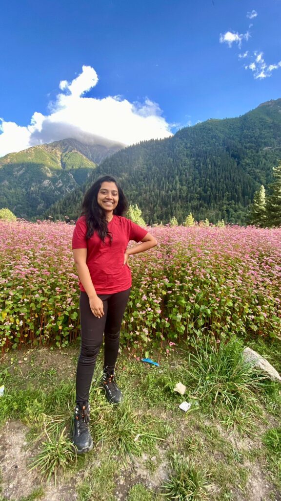
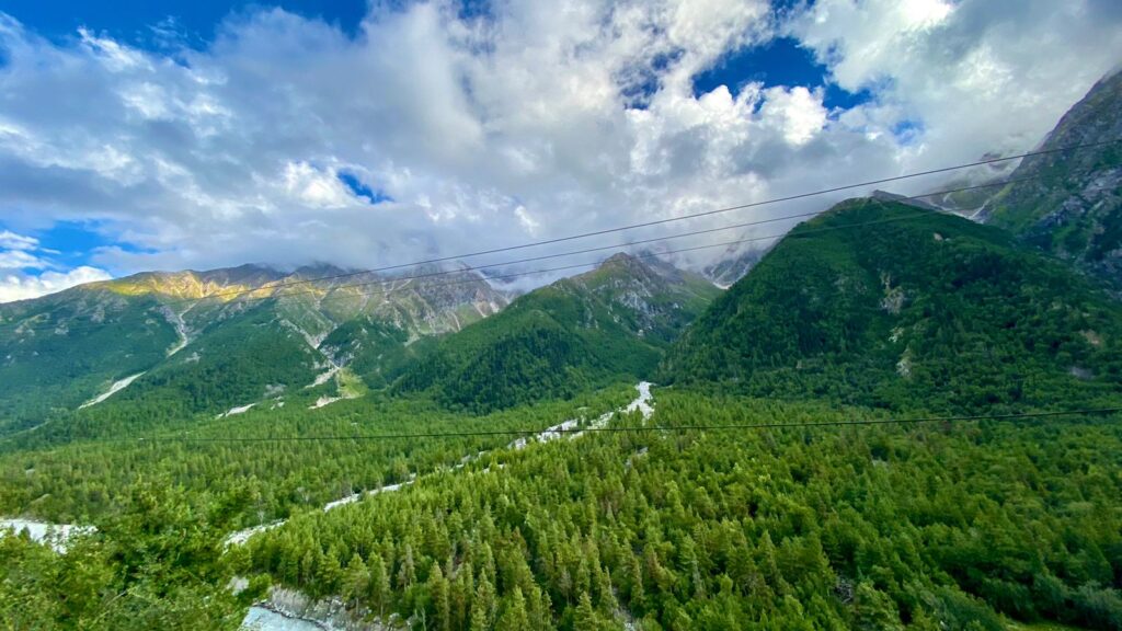
Chitkul is located at an altitude of about 11,320 Ft. which makes it a bit difficult to reach. But as they say, no good thing comes that easy. Although being a distant place, it sure is one of the things you must add to your list of places to visit in Himachal Pradesh. I’ve boiled down a few points you should keep in mind before going to Chitkul:
- The roads here are very rough and uneven, some of the worst roads in the state.
- Chitkul is almost always covered in snow throughout the year, so the best time to visit Chitkul would be during the Summer, ideally between April to September.
- Being at such a high altitude, it’s likely that you may feel short of breath after walking for a few minutes. So, make sure you are here at least a night or two days before hopping off to the next location
- There aren’t many adventure activities to do here. But for the city folks, this is one of the best places to relax and have a peaceful time in nature away from the shor in the city. The most you can do is stroll by the Baspa River, go trekking, or visit a local temple (Best to ask the locals about it)
- There is no mobile network in most places, you will have to go to the nearest town for connectivity
- After sunset, the temperature decreases drastically, even when you are here during the summer. Keep some warm clothes handy.
- To make the most of your experience, book a tent located just along the banks of the river.
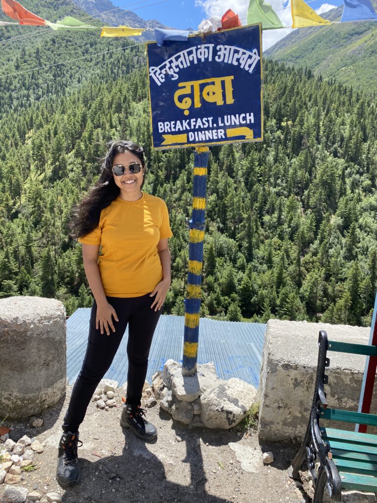
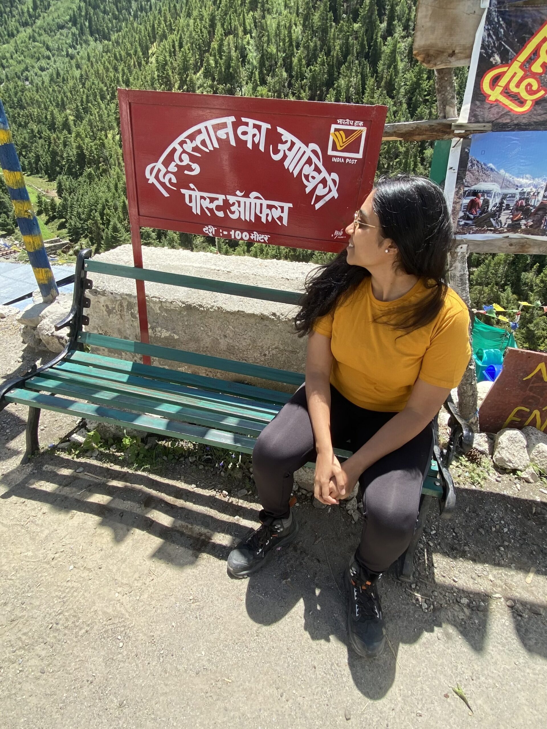
We stayed at Baspa River Camps where the camps are set up very nicely, and the inside of the tents are kept clean and tidy. The staff here is very courteous and kind, and the food was basic but good. Oh and you get clear access to the Baspa River from here, one can simply sip some hot tea/coffee, sit by the river and enjoy! Maybe visit and click pictures at “Hindustan ka Aakhri Dhaba” and “Hindustan ka Aakhri Post-Office” which are just a few meters away, like I did!
Day 5 – Depart from Chitkul to Kalpa
After exploring Chitkul during the day, we headed off to Kalpa soaking in the natural beauty and silence. After long hours of bike ride, and just before checking in to our hotel, we went to see the famous Kinnaur Suicide Point.
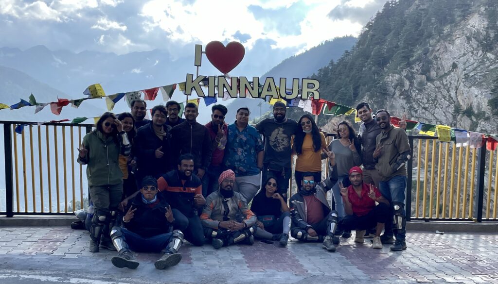
Suicide Point is basically a steep cliff just a few kilometers away from the main Kalpa village. It is located on the road linking Roghi village with Kalpa village.
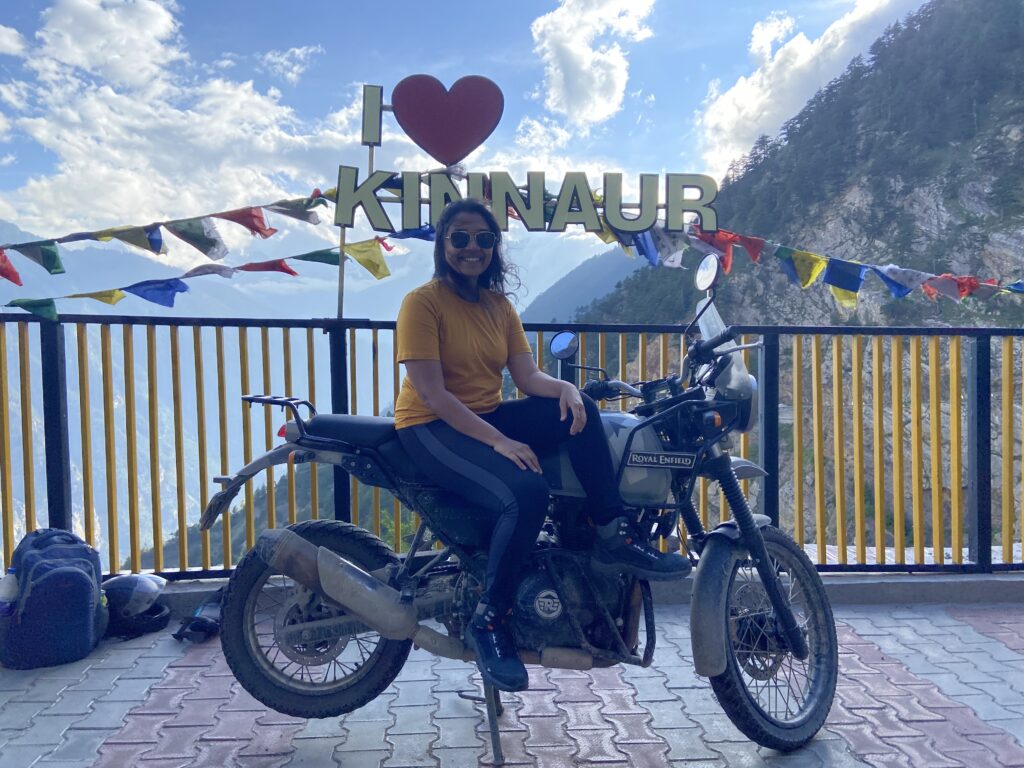
Honestly you can skip this place if you want to. I personally think that it’s pointless to go here. But it is a good spot to click some pictures in front of a big sign that says, “I love Kinnaur”. Mind you, the road is quite narrow, so you’d have to be careful while driving and there’s no space to park your vehicle; bikes are still doable. We were lucky to be the only ones there.
By evening, we reached our stay at Hotel Kalpa in Kalpa (very easy to remember). The rooms were very clean, bright, and airy. There’s a recreational area for guests, and the food is great. Overall, I’d give it a 4/5 rating. Oh and the best part, this property offers some of the most amazing views of Kinnaur Kailash, which is a sight you will not miss at Kalpa. Check out the below video to see what I am talking about.
Kalpa was a stop just before we entered the Spiti Valley. It is a small town that’s situated in Kinnaur district. Most travelers pass by Kalpa on their way to the Spiti Valley, and so consider it to be a transit point. Also, it is a great starting point to begin monitoring your oxygen saturation levels before you enter Spiti. While we stayed at Kalpa for just a night, it is a secluded and off-beat location in itself that’s famous for its sweet apples, Sapni Fort. At our stay in Hotel Kalpa (simplest name to remember) we were briefed about Spiti Valley’s climate, landscape, the dos and don’ts, safety precautions and more.
Note: Kalpa is the last stop where you will be able to take a proper bath, until you reach Manali. Spiti’s climate being extremely cold and dry, it’s advised that tourists do not take a bath there. Please prepare yourself accordingly.
Day 6 – Depart From Kalpa to Kaza
We took this route: Kalpa – Nako Village – Tabo Monestary – Kaza
This route through Sumdo Border is the most popular one to enter Spiti Valley.
Distance from Kalpa to Kaza is about 200 Km, which will take you at least 10 Hrs depending on how many stops you take and how fast you are riding. Given the road conditions, I’d suggest you start right at dawn like we did, so that you’ll comfortably reach Kaza before sunset.
Nako is about 100 Km away from Kalpa. As your journey progresses, the landscape views are going to take your breath away. I remember the feeling when I realized that I am entering Spiti Valley, as the lush greens we were witnessing since the start, slowly got replaced with big brown mountains.
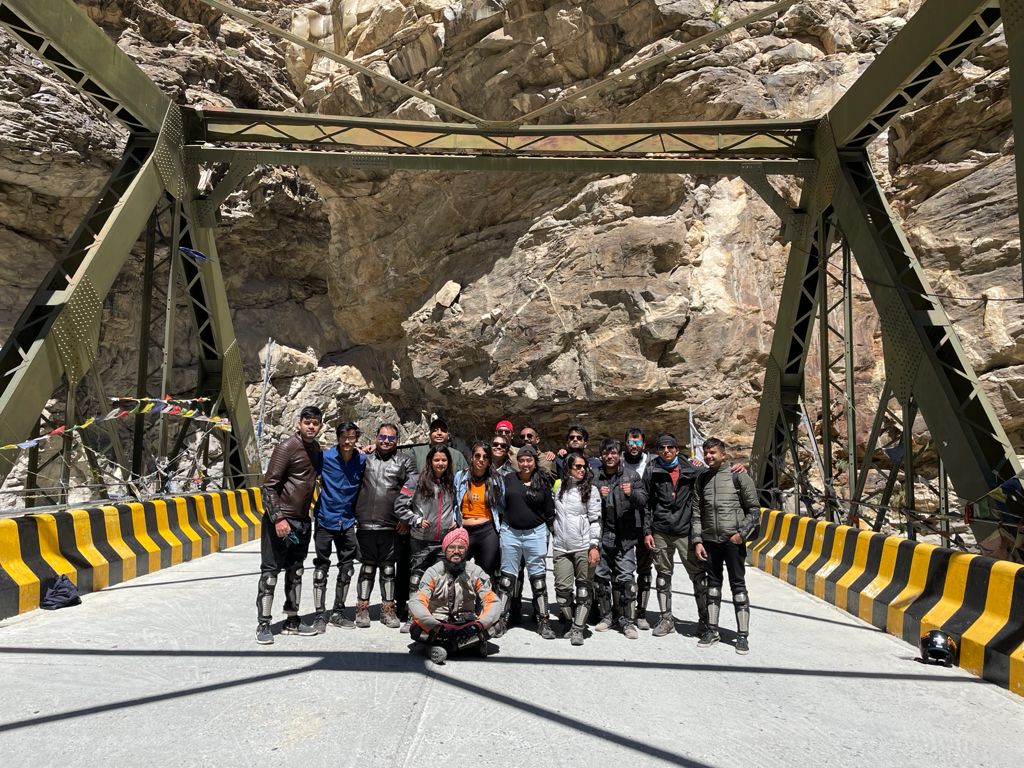
On your way to Nako, you will pass through Khab Bridge. Here, you’ll see the confluence of Sutlej and Spiti Rivers. And you can click some reel content for your instagram as well. We parked our bikes aside and clicked some pictures at the bridge. Then, we continued ahead.
As you move further, you will be riding up the Kazigs (or Ka Loops). Ka Loops is a road stretch that has multiple bends to it like a U-pin. As you ride further upward, you will see the entire road stretch below. It looked like a snake’s body. Unfortunately, my phone died at this point, so I don’t have a picture with me. Talk about bad luck!
After Nako, you’ll enter the Tabo Village. Make sure to take a break here and rest at the beautiful Tabo Monastery, which is said to be thousands of years old. Once you feel rested, continue your journey towards Kaza, ideally you should be there by evening.
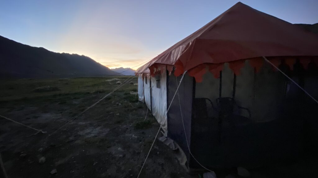
Kaza is the heart of Spiti Valley, as this is the base location for most of the tourist activities. Kaza is at an altitude of 3,800 meters (12,470 feet), which is pretty high. There aren’t many places to visit here, and so I’d suggest that you take the time to properly acclimatize yourself to the altitude. We stayed at our campsite in Kaza for 2 nights.
Day 7 – Visit Key Monastery, Hikkim, Komic, Langza and Chicham Bridge.
Start your day comfortably by visiting… the petrol pump!! Fun Fact – Kaza is home to the world’s highest petrol pump. For the remainder of your journey, you’d want to keep those tanks full.
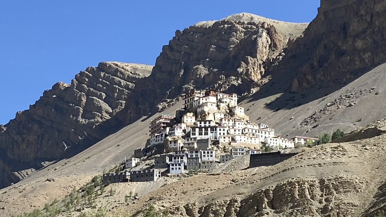
From here, we headed to the Key Monastery, a place where you’ll not just be captivated by the unique architecture, but also by the panoramic views that surround it. The monastery is situated at a cliff and exudes an atmosphere of serenity that’s truly remarkable.
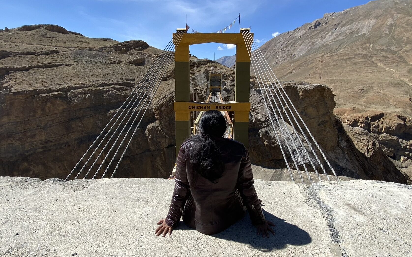
Moving on from Key Monastery towards Hikkim, we passed through the Chicham Bridge. Chicham Bridge is known to be the highest suspension bridge in entire Asia. Located at a height of 4145 meter (13596 feet) above the sea level, Chicham Bridge connects two villages – Chicham and Kibber.
Further on, we made it to Hikkim. It is a quaint village known for hosting the world’s highest post office (at a height of ~14,567 Feet above sea level). Sending a postcard from here to yourself and your loved-ones is a must-do to remember your journey. You can easily purchase some postcards at the shops just outside the post office.
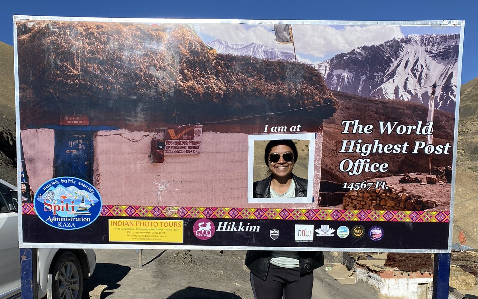
We then continued our journey towards Komic, the highest village in Asia., followed by seeing the huge Buddha statue in Langza village. Fun fact about Komic – It has a total population of just approx. 80 people and the village is not accessible for most time of the year. Interacting with some of the locals here made me realize how much I’ve taken things for granted in my city. It was a humbling experience.
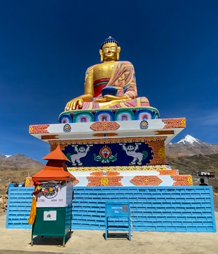
These charming hamlets in Spiti offer a glimpse into the local way of life, and you’ll undoubtedly be welcomed with warmth by the villagers. By sunset, we returned back to our stay in Kaza.
Personally, I was deeply moved by the natural beauty of these places and the genuine hospitality of the locals. This day of exploration in Spiti Valley and seeing how the people live here will surely stay with me forever.
Day 8 – Depart from Kaza to Chandra Taal
Early morning after breakfast, we departed from Kaza towards the highlight spot of our trip – Chandra Taal. As we moved further away from Kaza, the roads kept getting worse and worse. Please be aware that while the total distance was just about 100 Km, it took us almost 7 hours to reach to the camps at Chandra Taal. Throughout the entire journey in Spiti, this road was the worst. If you are planning to ride your bike, please keep your shoe covers ready as you’ll be needing it at a small stretch. Your backside might feel a bit sore, but the rush of adrenaline is worth every moment.
On the way we took a stop for snacks at Losar. Losar is a quaint village known to be the last village in Spiti. Following Losar, we passed through Kunzum Pass, which has the narrowest road that I’ve seen so far. The width is barely enough for just one car to go through. Pillions like me should really hold on to the bikers at this point. Bikers, your skills will be tested here – so be ready.
After a few kilometers, we could see an open ground and several campsites there. We checked in to the “Moonlight Lake Camps” and unloaded our luggage. It wasn’t sunset just yet, we had 2-3 hours to spare. So, we didn’t waste our time relaxing too much and quickly headed towards Chandra Taal. Do note, there are no campsites at the lake as such, all camp sites are at least 5-6 kilometers away from the lake.
There’s a little walking to do to reach the lake. We had to park our bikes at a dead-end near a board. From here, we just took the essentials like water, chocolates and cameras, and started walking towards the lake. The walk is just for a few meters, but it was difficult because of the low oxygen levels. We walked slowly and tried not to talk too much. But the high altitude wasn’t the only thing that made me breathless, the views took my breath away too. Check out this reel to see what I’m talking about.
The name Chandra Taal in english means “Moon Lake” which is derived from its crescent shape. The lake is at an altitude of 14,100 Ft. (4300 m) above sea level. While most people, including me, associates Chandra Taal with Spiti, it is geographically separated from Spiti. Even so, I feel that a trip to Spiti without visiting Chandra Taal will surely feel incomplete.
We came back to our campsite just after sunset, and the temperature decreased dramatically (Almost to 3 Degree Celsius). It was pretty windy too. There won’t be any services for hot water, you will have to survive on hot tea and food. The caretakers get all the food and water from faraway places, with solar panels being the only electricity source for them. So, please be kind to them and avoid wastage of resources.
Day 9 – Depart from Chandra Taal to Manali
This is where we headed back to Manali. After a much-needed good night’s rest, we started our journey early in the morning towards Atal Tunnel. The road stretch is extremely poor, with a lot of water crossings and rocky roads. Chandra Taal lake from Manali is about 110 Km away via Atal tunnel. Follow the route as shown above.
You should reach Manali in 7 hours. If you reach Manali early, head into the city to explore the town. Seafood enthusiasts, try the famous Trout Fish of Manali for sure!
Day 10 – Depart from Manali to Delhi, then back home!
We were extremely happy with the last few days, and the new friends we made. We promised to stay in touch and exchanged numbers and Instagram IDs. The day was bittersweet. We had a bus later in the evening, so we went to the famous mall road during the day and tried some of the famous street foods and bought some souvenirs and gifts for our friends and family. Later, we took a bus to Delhi and caught a flight back to Mumbai.
I truly love your blog.. Very nice colors & theme. Did you create this website yourself?
Please reply back as I’m trying to create my own personal blog and would like to know where you got this from or exactly what the theme is named.
Appreciate it!
Hi Astrid! Sorry for late reply. Yes I made this website myself using wordpress themes!
Hi there, I do think your website could be having browser compatibility
problems. Whenever I take a look at your site in Safari, it looks fine however, if opening in I.E.,
it has some overlapping issues. I simply wanted to provide you with
a quick heads up! Besides that, great site!
Alright John, thanks for letting me know. Will look into it!